

Why Skip the Obvious Route?
Interstate 40 deserves its reputation - it follows stretches of old Route 66 and passes through remarkable terrain. But its fame comes with company: summer traffic, booked-out motels in predictable towns, and a certain well-worn familiarity. The good news is that the United States is laced with road corridors that deliver equal drama, richer regional texture, and far fewer brake lights.
The routes below aren't secret - they appear on road atlases and government highway maps - but they're genuinely underused by the mainstream road-trip crowd. Whether you're drawn to misty coastal cliffs, open prairie sky, or mountain switchbacks, one of these alternatives is likely a strong match. Before you map your stops, it also helps to build a flexible itinerary that can absorb spontaneous detours without derailing the whole trip.
US Highway 2 - Northern Tier, Montana to Michigan
Stretching across the northern edge of the continental US, Highway 2 is one of the longest and least-driven scenic routes in the country. From the wheat fields and high plains of eastern Montana through Glacier National Park's southern boundary, across the upper peninsula of Michigan, the road offers a sustained encounter with scale that interstates simply compress away.
Wildlife sightings - elk, bison, eagles - are common in the western segments. Small towns like Havre, Montana and Ironwood, Michigan offer genuine regional hospitality rather than highway-exit uniformity. Winters are severe; late June through September is the practical travel window for most drivers.
Highway 2 delivers the kind of horizon-to-horizon openness that resets your sense of scale entirely.
The Natchez Trace Parkway - Tennessee to Mississippi
The Natchez Trace Parkway runs 444 miles from Nashville, Tennessee to Natchez, Mississippi along a corridor used for centuries by Indigenous peoples, traders, and explorers. Administered by the National Park Service, the road is free of commercial traffic - no trucks, no billboards - making it uniquely meditative for cyclists and drivers alike.
Highlights include pre-Columbian mound sites, Civil War landmarks, cypress swamps, and dense hardwood forest. Speed limits are modest (50 mph throughout), which is either a feature or a frustration depending on your temperament. This route particularly rewards history-minded travelers willing to stop at interpretive markers rather than race between endpoints. It also provides natural entry points to several nationally significant sites nearby.
No billboards, no commercial trucks - the Natchez Trace Parkway is one of America's most deliberately peaceful drives.
US Highway 191 - Utah to Wyoming Through Canyon Country
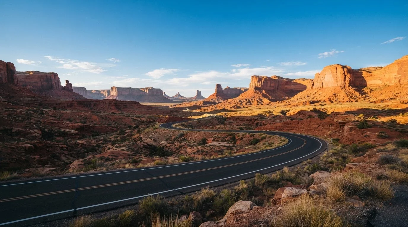
Running north through the Colorado Plateau and into Wyoming's high plains, US 191 connects Moab, Utah - gateway to Arches and Canyonlands national parks - with Jackson, Wyoming near Grand Teton and Yellowstone. The variety of landscape packed into roughly 600 miles is extraordinary: sandstone arches, the Book Cliffs, the Green River basin, and eventually the sage-covered Wyoming Range.
Fuel and lodging require more planning than on major interstates - some segments pass through remote terrain with services spaced 60 to 80 miles apart. Cell coverage can also be unreliable. For drivers who treat logistics as part of the adventure rather than an obstacle, this route is among the most geographically spectacular in the American West.
US 191 packs more raw landscape variety per mile than almost any other American highway corridor.
The Pacific Coast Highway's Northern Extension - Oregon Coast
California's section of the Pacific Coast Highway is genuinely beautiful but genuinely crowded, particularly in summer. Oregon's equivalent - US Highway 101 continuing north - offers comparable coastal drama with far fewer vehicles sharing the pullouts. The Oregon Coast alternates between windswept headlands, river estuaries, old-growth spruce forest, and fishing towns that haven't been rebranded for tourism.
Seaside, Cannon Beach, the Sea Lion Caves near Florence, and the dunes around Coos Bay each offer distinct stops. Fog is a reliable companion from late spring through early summer - some find it atmospheric, others frustrating. September and early October often bring clearer skies and lighter traffic, and coastal lodging prices tend to ease outside of peak summer weeks.
Oregon's coastal highway delivers the same rugged Pacific drama as California's PCH - with a fraction of the summer crowd.
US Highway 64 - New Mexico's High Desert Interior
US 64 cuts across northern New Mexico from the Texas panhandle through Taos, over the Rio Grande Gorge, and into the Carson National Forest toward Chama. The stretch around the Rio Grande Gorge Bridge - where the road hangs above an 800-foot-deep volcanic canyon - is one of the more startling roadside moments anywhere in the Southwest.
Taos Pueblo, a UNESCO World Heritage Site and continuously inhabited community for over a thousand years, lies just off the route. Travelers should approach with genuine respect: it is an active community with its own rules regarding photography and visitation, not a backdrop. The high-desert elevation means cooler summers than the Arizona and Utah lowlands, making this route particularly appealing in July and August when lower-elevation Southwest destinations are at their most intense.
The Rio Grande Gorge Bridge on US 64 delivers a perspective shift that stops most drivers cold - literally.
Choosing the Route That Fits You
No single road trip corridor suits every traveler. A solo photographer craving wide, empty horizons will find Highway 2 through Montana revelatory; a family wanting manageable driving days and frequent stops may feel more at home on the Natchez Trace. Consider your comfort with remote stretches - some of these routes pass through areas where cell service is sparse and fuel stations are 50-plus miles apart. A full tank and a downloaded offline map are non-negotiable preparations.
Plan for Remote Stretch Realities
On several of these routes, fuel stations may be 60 to 100 miles apart, and cell service can disappear for extended stretches. Download offline maps before departure, carry a physical road atlas as backup, and aim to top off your tank whenever you drop below half - don't bank on the next exit having what you need. A small roadside emergency kit is a sensible addition regardless of how new your vehicle is.
If the open-road format itself is still something you're weighing against a city-based vacation, the tradeoffs between both styles are worth thinking through carefully - pace, cost, and daily energy demands differ meaningfully. See city break vs. road trip for a clear comparison. And if budget is a factor, domestic destinations that stretch your dollar pair beautifully with any of the routes listed here.
The content on this site is for informational purposes only and is not a substitute for professional advice. Always consult a qualified professional for guidance specific to your situation.